
Understand the forest before setting out
Overview map of Fontainebleau Forest
A general map shows how the forest fits together. A current one also helps you avoid a closed or unsuitable path.
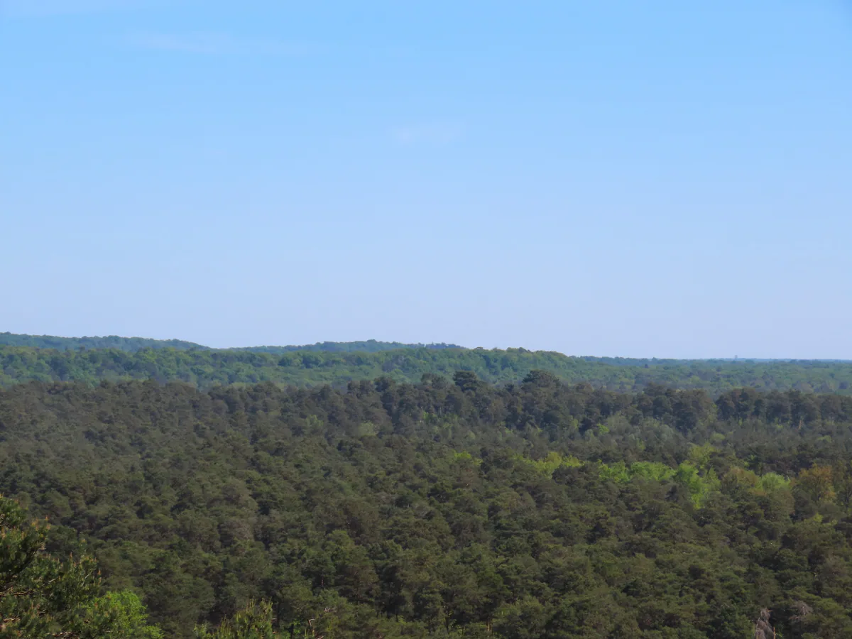
PLACES AND LANDMARKS
Find it on the map
Central reference point in Fontainebleau Forest
FontainebleauFrance
The centre point of the map, not an entrance or a place to park.
The map to open first in 2026
Following the July 2026 fires, begin with the ONF map of accessible paths and forest roads. It answers the most important question: which parts of the forest are open today?
It does not replace a detailed hiking map. Use it to rule out closed areas, then choose a recent route sheet or topographic map that shows the junctions, terrain and your starting point. Follow barriers and signs on the ground even when your screen says otherwise.
For the rest of your planning, the ONF visitor map brings together walking, cycling and horse-riding routes, bouldering areas and heritage features. It provides a useful overview. To follow a particular loop, add the land manager’s roadbook or a recent topographic map at a suitably detailed scale.
Five tools with five different jobs
The ONF access map answers the urgent question: which areas, paths or forest roads are open today? Check it before every other map and again on the morning of the outing.
The ONF visitor map explains the massif as a whole. It locates activities and major areas but does not provide roadbook-level detail at every junction.
IGN Top 25 map 2417OT or 2417OTR is at 1:25,000 scale and covers Fontainebleau Forest and Trois Pignons. It shows terrain, paths, buildings, water and waymarked trails. The resistant edition handles damp and repeated folding better, but check the publication year: no printed map can show a closure introduced yesterday.
Individual route sheets provide a start, distance, estimated time and particular waymark. For Maintenon, Cassepot, Rocher Canon, Barbizon or Grands Feuillards, this is the document to keep visible during the walk.
The blue-trail guide from Les Amis de la Forêt covers the longer, winding Denecourt-Colinet routes. QR codes in the current edition provide printable route maps. Check the live trail-status page as well, because several numbered routes remain impassable after the July 2026 fires.
The Balade Branchée app adds location-aware commentary to around twenty walks. Download content in advance and keep a fallback plan. An app can enrich the outing, but does not replace the current access map.
Fifteen areas that make the massif easier to read
The central point shown on this page, near Route de l’Ermitage at 48.409279, 2.635095, is only a way to frame the whole forest. It is neither a main entrance nor somewhere to leave a car.
Around that centre, fifteen areas give the massif a practical shape: Rocher Cassepot, Cabaret Masson, Commanderie, Restant du Long Rocher, Thomery, Maintenon, Mont Aigu, Arbonne, Trois Pignons, Samois, Franchard, Rocher Canon, Grands Feuillards and Barbizon. Some have a precise trailhead while others contain several circuits. Open the individual area guide before saving a car park or route.
This grouping shows how large the massif is and helps you keep nearby places together. The roadbook for your chosen route is still needed to connect the junctions on the ground.
Understand the scale before choosing
Published outings in the massif range from a twenty-minute stroll to a multi-day hike. The Fontainebleau Tourisme walking guide contains 20 waymarked trails lasting from 20 minutes to 3 hours, including routes for pushchairs or visitors with reduced mobility. At the other end of the scale, the Tour du Massif de Fontainebleau covers 74 km in four stages.
Between them are the trails maintained by Les Amis de la Forêt: about 220 km across 24 blue routes, generally taking two to four hours, and around 90 km of yellow walks that are often easier, family-friendly and under two hours. These figures describe networks, not a promise that every kilometre is open.
Ask four questions before choosing: how long can the group genuinely walk on sand? Does it want a loop or a linear route? Is transport available at the finish? Does a closure affect the trail number? Those answers narrow the options far more effectively than a list of famous viewpoints.
Status to check following the 2026 fires
On 4 September 2026, Les Amis de la Forêt list blue trails 8 and 16, the Gorges du Houx part of trail 7, link 7E-8 and the red 25 Bosses circuit as impassable. Several yellow trails are also affected and trail 6 is partly closed. This list will change, so check the AAFF trail-status page and ONF map close to departure.
Locate the main landscapes
In the centre, Franchard and Mont Aigu offer rocky ground close to Fontainebleau. To the west, Barbizon, Arbonne and Trois Pignons fit more comfortably into several days than one hurried outing.
To the north and east, Rocher Canon, Samois and Thomery let you pair a forest walk with the river landscapes of the Seine or Loing. To the south, the Commanderie and Restant du Long Rocher demand more thought about transport and the return journey.
This grouping also helps when choosing accommodation. Fontainebleau and Avon work well for the centre of the massif and train access. Barbizon brings you closer to the western areas. Bois-le-Roi is a more natural base for Rocher Canon and the north. Nemours or Montigny-sur-Loing may make more sense for some southern starts. Decide on your two priority walks first, then use Where to stay instead of booking near the forest’s geometric centre.
Reading what is printed on the map
Many of the long straight lines are old forest roads. Star-shaped junctions partly reflect the way the royal hunting forest was organised. From the nineteenth century, the arrival of the railway and trails devised by Claude-François Denecourt and later Charles Colinet helped turn Fontainebleau into a destination for walking and observing nature. A modern map therefore contains several histories at once: woodland management, older travel, hiking, bouldering and ecological protection.
A broad track is not necessarily open to cars. A visible path is not necessarily an official route. A painted mark may belong to a bouldering circuit rather than a walking trail. Before setting out, learn the shape and colour of the waymark you actually need; on the walk, do not switch systems simply because you have seen another streak of paint.
Prepare a map that works offline
Download the base map and route before leaving Wi-Fi. Save the starting point, two important junctions and the place where you intend to finish. Take a wide screenshot too. It makes it easier to spot when you are heading the wrong way if the app loses its connection.
A paper map remains useful, especially for a group. Spread it out so everyone can see the full route and help orient the map, rather than relying on one person’s phone.
Prepare the walk in four short steps:
- check the area is open on the ONF map;
- select a recent route sheet with a start, distance and waymarking;
- download the track and keep a wide view available offline;
- record the car park name, first junction and turning for the return.
That ten-minute routine avoids the familiar problem of a very precise blue dot sitting on the wrong forest road.
Read the numbers on a blue trail
On the Denecourt-Colinet network, numbers explain how tracks relate to each other. A mark such as 2-3 identifies a connection between two trails, 6/7 a section shared by two routes, and 8-8 a shortcut within one trail. This language becomes particularly useful where several variants cross the same boulder field.
Do not follow the colour blue alone. Read the number, any additional symbol and your direction of travel. A blue mark at a junction may belong to a connector that leads away from your loop. Our guide to forest waymarking explains the differences between blue trails, yellow walks, GR routes, mountain-bike markers and bouldering circuits.
When you need an accessible route
Les Amis de la Forêt’s trail information lists six yellow routes accessible to people with reduced mobility and equipped with benches. Ask for the current route sheet that matches the group’s actual needs: width, gradient, surface, distance to the first bench and the possibility of turning back matter more than a single word such as “easy”.
After fire, forestry work or a storm, a normally accessible path can have a temporary obstacle. Contact the visitor office or read the land manager’s update when this information determines whether the whole outing is workable.
The problem with coordinates alone
A pair of coordinates locates a point, but says nothing about parking, land status, path conditions or permission to enter. Use the points on our pages to understand the geography, then verify the trailhead and route on the land manager’s current sheet.
If you arrive by train, start with the station and the time of the last train home before choosing your area. Our Fontainebleau without a car guide shows how to plan in that order.
Turning back is part of navigation
A new barrier, fallen tree, blackened ground, waterlogged path or waymark you can no longer find are all sound reasons to return to the last known junction. Do not cut across the forest to regain a digital track. On sand and among the boulders, a few hundred metres away from a path can take much longer than expected and damage already vulnerable ground.
Afterwards, keep the information that genuinely worked: the precise place you started, junction names and the time your group actually took. Share a track only if you know it follows authorised paths. The best map is not the one holding the most pins, but the one that brings you back without treating the forest as a shortcut.