
Samois-sur-Seine
Forest walks around Samois-sur-Seine
Samois lets you move from woodland to the Seine in a single day. That contrast gives a walk close to Fontainebleau its particular charm.
PLACES AND LANDMARKS
Find it on the map
Petit Barbeau car park
Samois-sur-SeineFrance
The published start for the 10 km loop and yellow trail number 5. Check access on the day.
Two landscapes in one day
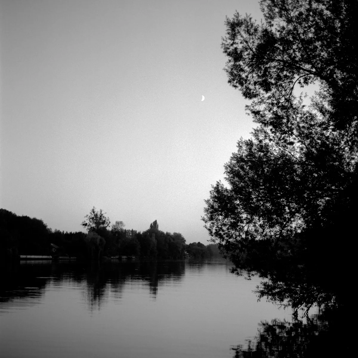
At Samois-sur-Seine, the forest truly meets the river. A path runs beneath mature trees, then a gap reveals the water, islands and the slow passage of boats. This contrast feels quite different from the rocky heart of the massif. Rather than collecting viewpoints, the pleasure lies in slowing down and noticing each change in bank, light and vegetation.
The Petit Barbeau area has several routes sharing the same ground: an accessible walk, a yellow trail, blue trails, an orange mountain-bike loop, GR2, Tour du Massif de Fontainebleau and the Scandibérique cycle route. Choose your route before leaving rather than following the first coloured mark you see.
The current Petit Barbeau circuit
Fontainebleau Tourisme now publishes the Petit Barbeau walking circuit between the Seine and the forest. The listing gives a 10 km loop, graded easy, from the Petit Barbeau car park, with orange mountain-bike waymarking. The document contains two different times: its route profile shows 2 hours 30 minutes, while the description states 1 hour 30 minutes. For a walk, plan around at least 2 hours 30 minutes and add stops rather than building the day around the shorter figure.
The route follows the Seine beneath the forest canopy and is shared with cyclists. Make yourself visible, keep to one side when a bicycle approaches and do not block the track while stopping. The official page provides both a roadbook and GPX track. Save them before setting out, but check access again that morning.
Petit Barbeau circuit at a glance
- Published distance: 10 km loop.
- Start: Petit Barbeau car park, Samois-sur-Seine.
- Published grade: easy.
- Waymarking shown: orange mountain-bike signs.
- Shared use: expect walkers, runners and cyclists.
- Time: 2 hours 30 minutes in the roadbook profile and 1 hour 30 minutes in its description; plan with the higher figure.
- Navigation: roadbook and GPX are available from the official listing.
Understanding the 10 km route
The roadbook first leaves the towpath along Route Victor, then joins Route de la Pépinière. The circuit continues by Route du Bineur, crosses towards Route de la Battue and reaches Route de Magenta. This becomes the main central reference before the route turns back towards Route Victor.
The final part uses Route de Barbeau, followed by Route Saint-Marc, to return to the starting area. Keep this sequence in an offline screenshot. It helps confirm overall progress when several tracks look similar beneath the trees. The riverside opening and the woodland section feel quite different, giving the loop more variety than a simple out-and-back walk beside the Seine.
A blue circle painted on a notable tree is not a turn marker. This circuit uses orange signs, while the forest roads have their own name plates. At each junction, look first for the expected road name and then the route mark. If a recent diversion contradicts the roadbook, follow the signs installed on the ground.
Three clearly defined AAFF alternatives
To stay close to the river, Petit Barbeau yellow trail 5 is shorter than the orange loop: 5.2 km, about 2 hours and just 20 m of ascent, starting at the Petit Barbeau forest-house car park. AAFF also describes a 4.4 km return option for people with reduced mobility, taking around 1 hour 30 minutes with no ascent. It turns back when the trail leaves the Seine. That defined turning point keeps a wheelchair user or a group seeking an easier surface out of the woodland section beyond.
For a route from Samois to higher views, blue trail 13, Tour Denecourt and Corniche de la Seine, makes a 7.5 km loop, listed at 2 hours 45 minutes with 102 m of ascent, from the Samois forest house on the D137. AAFF also gives a marked 3 km, one-hour link to Fontainebleau-Avon station. This is the best-documented choice for a rail-based day, provided the ONF map confirms the entire route.
Finally, blue trail 15 through Les Ecouettes starts at the Samois community-hall car park. At 13.5 km, 4 hours 45 minutes and 213 m of ascent, it is a proper hike. It crosses dense woodland, reaches Tour Denecourt and shares its return with trail 13 along the ridge above the Seine. Choose it for a full day rather than adding it spontaneously to the 10 km Petit Barbeau circuit.
A more accessible waterside option
There is also a Petit Barbeau trail presented as accessible to people with reduced mobility. It follows the former towpath where forest meets the Seine. The official page grades it easy and provides its own roadbook and GPS track. Some sections may be sandy, and conditions may have changed after the fire. Anyone with specific access requirements should therefore read the current document and confirm conditions with the tourist office before travelling.
This accessible walk has its own route sheet. Use only the distance, duration and turning point given in the current document, then follow the signs on the ground. If bringing a wheelchair or pushchair, confirm the surface and any temporary obstacles before travelling.
Let the trees guide your attention
The cooler riverside soils create a different atmosphere from the dry plateaux. Tall poplars, oaks and other species line the route. Since the late 1960s, Les Amis de la Forêt de Fontainebleau have worked with ONF to record notable trees. Selected specimens carry a blue circle because of their rarity, size, shape or botanical interest. Here, the circle is an invitation to look up, not a hiking waymark.
Where woodland meets water, the opportunities for watching wildlife change too. Depending on the season, time and number of visitors, you may see woodland or riverside birds. There is no need to approach them or step off the path for a better view. Binoculars and a few quiet minutes usually work better.
Current access and the day’s conditions
Before any walk, open the ONF interactive access map. Following the July 2026 fires, some areas remain closed even when an older track crosses them. Fire-damaged roots can cause trees to fall long afterwards. A sign, barrier or diversion on the ground takes priority over the GPX file.
Riverbanks become slippery after rain, while changes in river level alter their character. Stay on public access and never assume that calm-looking water means swimming is allowed or safe. In strong winds, spend your time in the village rather than beneath the trees.
Reaching the right starting point
By car, the official directions approach the Petit Barbeau car park along the Seine from Samois. From Fontainebleau-Avon, they use the D210 and Pont de Valvins. Check current traffic conditions and use authorised spaces only. If the car park is full, do not leave a vehicle on the verge or in front of a forest entrance.
Without a car, plan the whole journey on Île-de-France Mobilités, including the walk from the final stop to the car park. A railway station appearing on a regional map does not guarantee an easy Seine crossing or late return. Cyclists should prepare the Scandibérique with its current itinerary and any announced diversions.
Forest first, then Samois
After the circuit, leave time for the village and riverbank rather than adding another forest area. Samois remains closely associated with Django Reinhardt and a long jazz history. The official Samois-sur-Seine page is the place to check current events and visits. On festival days, follow announced traffic arrangements and do not assume your usual parking place will be available.
If boulders are your priority, give Rocher Canon a separate day. For a gentler outing, remain in Samois, find a permitted place to sit beside the water and watch the light change across the Seine.