
Before you lace up your boots
Fontainebleau forest: access and thoughtful visiting
The forest remains welcoming when you arrive prepared. Confirmed access, a realistic route and a few simple habits protect both the day and the landscape.
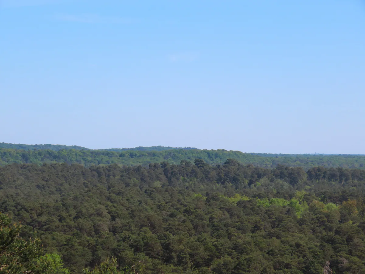
Where can you go today?
The fires of July 2026 affected the Fontainebleau and Trois-Pignons state forests. The authorities declared the fires extinguished on 2 September and much of the forest has reopened, but that does not make the burnt plots safe to enter. Roots beneath an apparently sound tree may have lost their grip. The ONF warns that wind, rain and erosion can still bring trees down without warning.
Open the ONF map of accessible trails and forest roads on the morning of your visit. Zoom in to the exact area rather than checking only the forest as a whole. A barrier, fence or sign on the ground always takes priority over an app, guidebook or memory of an earlier visit. Never try to skirt a closed plot along a climbers’ path or plot boundary.
Four checks to make that morning
A well-prepared outing starts with four tabs:
- the ONF map for the status of the area and its access routes;
- the ONF page for hunting days in Fontainebleau, whose 2026-27 calendar is still being completed as dates are confirmed;
- the local forecast, paying particular attention to wind, thunderstorms and heat;
- in season, the Météo-France forest fire danger map, which gives a departmental danger level.
The hunting calendar is advisory. Administrative drives or later changes may not appear in a screenshot saved several days ago. If signs announce an active hunt, choose another area. The same principle applies to fire danger: a colour shown for the department does not override a local closure.
Choose a manageable route
Plan around the least experienced person in the group. Sand, roots and short rocky passages slow you down more than an urban path. A loop described as short can fill a morning if it crosses a sandstone maze. Allow time for breaks and set a return time before dusk.
Download the map and route for offline use. Note the exact starting point, two named junctions and a simple way back. The many climbers’ paths do not always follow the logic of a walking loop. A blue, yellow or red mark can mean different things depending on its shape. Our guide to understanding trail markings helps distinguish walking routes from climbing circuits.
This page covers habits that apply across the forest. For a precise distance, start and sequence of junctions, move on to Walks and routes. There you can compare Franchard, Barbizon, the Trois Pignons, Samois, Thomery and other areas before opening the detailed guide for your chosen route.
If someone is injured or lost
Before leaving the trailhead, remember its name and photograph the sign or map. In the forest, road names at junctions and plot numbers painted on trees or shown on stone markers are useful landmarks. They tell rescuers far more than “near some large rocks”.
In an emergency, call 112 or 18. Open your phone’s location display so that you can read the coordinates, then give the last junction, forest road, plot number and trail colour you can see. The ONF’s advice on locating yourself explains why these details save time. Keep enough battery for the call and do not move an injured person unless there is immediate danger or the emergency operator tells you to do so.
If you have merely lost the route, go back to the last certain junction. Cutting directly towards the phone’s blue dot can leave you on the wrong side of a rock ridge. As the light fades or tiredness grows, retracing the known path is almost always the sounder choice.
Water, toilets and visitor help
This is not an urban park with facilities at every entrance. Carry all the water you need from the start, even if a map shows a water point. The Fontainebleau Tourism FAQ lists water at La Faisanderie and the Franchard Ecotourism Centre, among other places, but availability depends on the site and its opening hours.
There are no public toilets at the Gorges de Franchard car park. Use town facilities before setting out and never build a long walk around an amenity that you merely assume will be open. For maps, advice or event information, the Fontainebleau visitor desk is on Place de la République. The Maison de la Biosphère et de la Forêt at Franchard can add context to a walk when it is open, but check its programme before travelling.
Dogs and ticks
Throughout the year, dogs must remain under their owner’s supervision and no more than 100 metres away. From 15 April to 30 June, they must be on a lead away from forest tracks. The ONF explanation of the dog rules says that forest roads, paths and marked trails count as tracks, while forestry strips, firebreaks and plot boundaries do not. More restrictive local rules may apply in protected areas.
Ticks favour woodland, long grass and bracken. Keep to clear paths, wear covering clothes and carry a tick remover. Back at your accommodation, check your whole body, children and dog, then look again the next day. Remove an attached tick promptly with a tick-removal tool and watch the skin afterwards. The French national health service has a clear guide to tick bites with removal instructions and symptoms that warrant medical advice.
Days when it is better to change plans
Change plans if the area is closed, strong winds are expected, fire danger is high or thunderstorms are forecast. Sandstone stays wet after heavy rain, making it both slippery and vulnerable. Wait for it to dry before climbing. A château, museum or village day is not a consolation prize. It is often the choice that lets you return to the forest in good conditions.
Sharing the forest
Stay on established paths, take all rubbish with you and keep unnecessary noise down. Bins are not provided at every visitor area. Fires, barbecues and gas stoves are prohibited throughout the year. Do not move dead wood, stones or moss to create a picnic area.
Cyclists, horse riders, walkers and forestry vehicles sometimes share the same track. Slowing down, announcing your presence calmly and making room resolves many awkward encounters before they become a problem. A broad forest road is not automatically an open cycle route, and a visible path is not necessarily open to visitors.
Parking or coming another way
Barriers must remain clear for emergency access. Park only in an authorised space and choose another area if it is full. Leave nothing visible in the car.
The R line serves Fontainebleau-Avon, Bourron-Marlotte-Grez and several stations in the valley. Arriving by train does not make every walk accessible. Plan the last kilometre and your journey back with our Fontainebleau without a car guide.
For an outing with younger walkers, start with family walks. To make an early start, avoid the busiest times and choose a base that suits your area, see Where to stay.