
Arbonne-la-Forêt
Forest walks near Arbonne-la-Forêt
Arbonne lives up to its name. The village is a useful landmark in a landscape where forest, sandy paths and boulders are always close by.
PLACES AND LANDMARKS
Find it on the map
Bois Rond car park, D64
Arbonne-la-ForêtFrance
The start of the Gorge aux Archers walk shown on the official route page.
Begin with a real reference point
Arbonne-la-Forêt lives up to its name, but “the forest near Arbonne” covers several landscapes and several starting points. There are sandy tracks, low heath, rocky plateaux where water gathers in small pools, and bouldering areas that can be busy. Choose a precise start rather than asking a navigation app to take you simply “to the forest”.
For the loop described here, the useful point is the Bois Rond car park on the D64. Canche aux Merciers, Hautes Plaines, Feuillardière, Isatis, Drei Zinnen, Rocher de la Reine and Plaine de Chanfroy name other parts of the area. Do not treat them as interchangeable destinations in your navigation app.
The Gorge aux Archers walk
When access is confirmed, the official Gorge aux Archers walk provides a clear loop from the Bois Rond car park on the D64. Fontainebleau Tourisme gives a distance of 5.5 km, a time of about 2 hours and waymarks showing two yellow figures. The route alternates between sand, heath, birch, Scots pine and sandstone plateaux. The listing presents it as suitable for families used to walking on uneven ground.
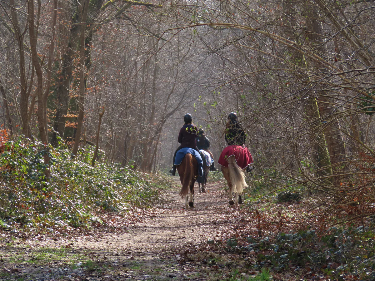
The path crosses open scenery where seasonal pools and heather deserve more attention than speed. Riders also use parts of this area. Step aside calmly, give the horse room and avoid sudden movements. Low boulders may look inviting, but a family walk is not an equipped climbing session.
Gorge aux Archers at a glance
- Published distance: 5.5 km loop.
- Estimated time: about 2 hours.
- Start: Bois Rond car park, D64, Arbonne-la-Forêt.
- Waymarking: two yellow figures.
- Ground: sand, heath and sandstone plateaux.
- Navigation: the official page provides a GPS track and roadbook.
These details describe the official route, not its status on the day. Before travelling to Bois Rond, always confirm that the car park and loop fall within an accessible area.
A loop that is easy to remember
The roadbook currently offered by Fontainebleau Tourisme contains six directions, but the route follows three broad movements. From the Bois Rond car park, follow the waymarks to Route d’Achères à Arbonne. Stay on this line through the first junctions. The steady direction gives you time to notice the change between sand, heather and sandstone plates without looking for another turn every few minutes.
Farther on, the trail makes a broad semicircle to the right and joins Route Descamps. This curve is the key point of the circuit. Once on Route Descamps, follow it back to Bois Rond. Keeping those two road names in an offline screenshot makes the loop much easier to read: Achères à Arbonne on the outward leg, Descamps on the return.
The two yellow figures remain the main guide. Painted arrows or numbers on boulders may belong to a climbing circuit and will not lead back to the car park. Small pools sometimes form on the plateaux, particularly after wet weather. They may be visible from the route without lying directly beside it. Enjoy them from firm ground rather than following a trace through the heather.
Do not confuse the nearby starting points
Bois Rond, Feuillardière, Canche aux Merciers and Isatis are separate access points. Their names appear on many climbing and walking maps, but they do not serve the same loop. For Gorge aux Archers, the roadbook clearly specifies Bois Rond on the D64. If your navigation brings you to Feuillardière, you are not at the intended start.
Sucremont yellow trail 8 starts from Feuillardière. Its AAFF listing gives 3.2 km and about one hour, but more importantly says that it has not been passable since the July 2026 fires. Blue trail 16, Les Belvédères, which also appears on maps of this area, is likewise listed as impassable. Neither is a shortcut or fallback for Gorge aux Archers.
The Tour du Massif de Fontainebleau also crosses this wider part of the forest on some maps. The official TMF route covers 74 km over four stages and is graded very difficult. Seeing a green-and-white mark at a junction does not make it a sensible extension to the 5.5 km family loop.
Choosing among the area’s routes
Gorge aux Archers is the simplest option to prepare from Bois Rond when access is confirmed. Sucremont and blue trail 16 are not variations of this loop: Les Amis de la Forêt de Fontainebleau currently list them as impassable following the July 2026 fires. A colour mark still visible on a tree is not enough to show that the full route is open.
The GR1, GR11 and Tour du Massif cross the wider landscape, but they do not necessarily return to Bois Rond and are not sensible improvised extensions. For a 5.5 km outing, stay with the two yellow figures of Gorge aux Archers. Prepare any longer crossing with its own route sheet, open access points and return journey.
Canche aux Merciers, Hautes Plaines, Feuillardière and Isatis are close enough to appear together on a map, but each needs its own starting point. Keeping them separate prevents you from joining paths that do not form one loop or meeting a closure halfway through the walk.
Check access after the fire
Open the ONF interactive access map on the day, then zoom in on Bois Rond and the proposed loop. ONF updates the map as safety work progresses. Some plots may appear untouched even though roots have burned and trees could fall without warning.
A barrier, fence or red sign on the ground takes priority over the roadbook. Do not bypass a closure along a climbers’ path. Postpone the walk in strong winds. After rain, sandstone is slippery and fragile. Staying on established paths also keeps erosion from spreading through sand and heath.
Who is it for, and how much time should you allow?
Gorge aux Archers makes a satisfying half-day outing. The stated two hours may not include a long break, time spent looking at pools or a pause at a confusing junction. With children, keep a steady pace and turn back before tiredness sets in. Bring water even on a short circuit, as open heath offers little shade in hot weather.
Walkers wanting a longer crossing should begin with a current route sheet rather than extending the loop spontaneously towards Isatis or Hautes Plaines. The network of forest roads creates a misleading sense of simplicity. An offline map, a firm turnaround time and a fallback plan are essential.
Park without blocking the forest
Use only a car park shown as open. Barriers and track entrances must remain clear for emergency and forestry vehicles. If Bois Rond is closed or full, do not form a line along the D64 or improvise a space on a verge or in front of a forest entrance. Choose another route with a clearly authorised start, or change your plans.
Without a car, check the complete journey on Île-de-France Mobilités. Connections around Arbonne are less straightforward than at Fontainebleau-Avon, and the final stop may still be far from the start. Our Fontainebleau without a car guide helps compare practical options without assuming that a place name means there is public transport to the trailhead.
Arbonne village and the Bois Rond car park are not one navigation point. If you arrive by public transport or someone drops you off, check the stop in the village, the approach to the D64 and the exact pick-up point separately. Do not plan a night-time return on foot along a road simply because both places carry the Arbonne name.
Finish the day in Arbonne
After walking, return to the village rather than adding a second forest area. Check which shops are actually open on your date and see Flavours and producers for a local stop. Give Trois Pignons or Barbizon another day. Keeping them separate leaves time to understand what makes each forest edge distinct.