
Commanderie Forest
Walking in the Commanderie Forest
In the south of the massif, the Commanderie feels a long way from town. Careful planning matters when stations, services and exit routes are farther away.
PLACES AND LANDMARKS
Find it on the map
Bois d'Hyver car park
LarchantFrance
An access point named on the ONF visitor map. Check that it is open and has space on the day.
Saint-Mathurin Basilica, Five Crosses start
LarchantFrance
The start given by the Larchant Cultural Association for the Five Crosses circuit and short fountain walk.
Chalet Jobert, Tour du Golfe start
LarchantFrance
The start used in the description of the Tour du Golfe on blue trail number 19.
Not one loop, but a whole forest
The Commanderie extends the Fontainebleau massif southwards between Larchant, Grez-sur-Loing and Nemours. Sand, sandstone formations, pines and oaks create a more rural setting. The title of this page needs a little explanation: there is no single “Commanderie walk” to follow without first choosing a route.
The ONF’s introduction to the Commanderie state forest describes an area of 2,550 hectares. Choose a specific circuit and keep its map to hand.
Read the broad map before choosing
The point at 48.303961, 2.599592 corresponds to the parking area labelled Bois d’Hyver on the overview map. It helps you locate the area, but it is not a promise that parking or access is available today.
The map brings together several activities and starting points. It lists the Five Crosses circuit 9, the Commanderie de Beauvais-en-Gâtinais PR 40, the Étangs de la Clarette PR 37, the Chemin des Culs Frais PR 38, blue trail 19 and the GR 13. It also shows an equestrian loop, the Scandibérique cycle route, a mountain-bike circuit and climbing areas. A line crossing yours is therefore not necessarily the continuation of your walk.
For present-day navigation, start with the ONF’s 2023 tourist map of the Commanderie, then open a recent guide for your circuit so that you do not mix two sets of markings.
Two histories behind one name
There is more history in the name Commanderie than a map can show. The ONF distinguishes the old Commanderie, linked to a 12th-century Templar establishment in Grez-sur-Loing and owned by the state since 1926, from the new Commanderie, acquired by the state in 2004 to enlarge the public forest. Rows of Douglas fir planted in 1936 are among the area’s recognised remarkable trees.
The Bois d’Hyver name adds another chapter to the story. Achille Marrier de Bois d’Hyver served as an inspector of the Crown forests at Fontainebleau from 1830 to 1848. During that period, broad areas of hardwoods and Scots pine were planted on heathland, and new routes were laid out for carriage excursions. The car park name was therefore more than a convenient label.
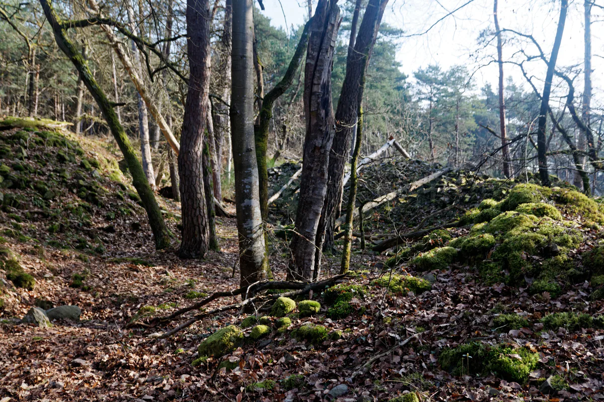
Today’s forest mixes several tree species. The ONF reports that Scots pine and oak predominate, alongside black locust and other trees. The rocky ground around Larchant feels quite different from the long wooded tracks farther east. That variety, rather than one must-see attraction, is what makes a day here memorable.
One clear option: the Five Crosses circuit
For a walk that joins landscape and heritage, the Five Crosses circuit described by the Larchant Cultural Association is a well-documented choice. The association gives a distance of about 10 km and calls it a family route. It starts at Saint-Mathurin Basilica, crosses the village, then partly follows the GR 13 and Denecourt blue trail 19.
Its eleven points reveal the area a little at a time. After the basilica come Croix Bardin and Fontaine Saint-Mathurin. The Elephant boulder begins the rockier part of the walk. Admire its outline without climbing it: the ONF removed the Elephant from official climbing sites to protect the weakened rock and visitors. Croix-Petit Homme, Fontaine des Petits Pots and Croix Saint-Bernard lead towards Dame Jouanne. From its viewpoint, at about 120 metres according to the association, you can look across the forest, marsh, former quarries and village. The old wash house and Trois Croix bring the story back to daily life in Larchant.
“Family route” does not mean effortless. Ten kilometres over sand and rocky paths can be a long day for young children. Read the full map, plan rest stops and agree on a latest time for turning back. If you only want a short stroll, choose a guide designed for one rather than cutting between paths at random.
A longer day: the Tour du Golfe
For a fuller journey through the hills around Larchant, the Cultural Association describes the Tour du Golfe on blue trail 19. Its route page gives a distance of about 13 km and an average time of 3 hours 15 minutes. The ONF initiated the loop in 1996 with walking and climbing groups and the municipality. The AFF completed its waymarking in 1998.
The description uses Chalet Jobert as its starting point. From there, the blue trail climbs to the Dame Jouanne plateau, passes the top of Launoury and reaches Bois d’Hyver. It continues over Mont Simonet, Rocher de la Justice and the Elephant area. The second half crosses Rocher au Diable, the plateau above Crottes au Fer, the Mont Blanc viewpoint and the former sand quarry at Blomont-les-Roches. Chemin de la Chapelle and the Pentes du Marchais finally return walkers to Chalet Jobert.
That chain of high points explains why 13 km here feels different from the same distance on a greenway. The summits are modest, but climbs keep returning, sand absorbs each step and boulders sometimes demand careful footing. The viewpoints also help with orientation. Dame Jouanne opens a broad view, while Mont Blanc and the edge above Crottes au Fer reveal different sides of the Larchant basin.
Bois d’Hyver and the Elephant are also listed as entry points, and a shorter loop is available from Chalet Jobert. Joining at a different point does not automatically shorten the route, however. Note your direction of travel and where you must leave the blue markings to recover your parking place. On a first visit, starting at Chalet Jobert makes the sequence on the association’s route page easier to follow.
A shorter link from the village
If 10 or 13 km is too much, the short walk to Fontaine Saint-Mathurin is a documented alternative that does not rely on an improvised shortcut. The association gives a distance of about 2 to 3 km, starting at the church’s north door. The route follows Rue de l’Église and Rue de Chouard, passes Trois Croix and turns left onto Chemin des Bardins. About 50 metres later, a path follows a hedge to a rocky jumble, where a left arrow leads beside the field and uphill to the fountain.
Behind Fontaine Saint-Mathurin, the broad path climbs gently to a barrier. The first return option descends beside an old sand quarry, passes Croix Bardin and reaches the church by Rue de Paris and Rue de la Libération. This way also passes the former Auberge des Trois Rois. The second option follows the plateau edge and Banc de Balthus before returning to Croix Bardin. The association advises against that version in wet weather.
This short loop is especially practical when your transport brings you into Larchant village rather than to a forest car park. It combines old streets, wayside crosses, a rocky woodland edge and the fountain, then returns to the church, an easy landmark to find. It also leaves Dame Jouanne and Bois d’Hyver for a day when you have more time.
The marsh has its own visiting rules
The Larchant marsh borders the forest and opens up the landscape in an unexpected way. The Five Crosses route uses a circuit outside the nature reserve. The reserve itself is protected private property and is not freely accessible. Guided visits to the Marais de Larchant are offered at certain times with advance registration. Do not cross a fence or pass a notice simply because the water looks close on a map.
Access and transport
The ONF says that most visitors arrive by car. Different car parks serve different parts of the forest, so choose your route first and then use the starting point it recommends. Never park in front of a barrier or on a track needed by emergency or forestry vehicles.
Nemours station appears on the overview map, but that does not make every trail a walk from the train. If you are travelling without a car, build the outward and, above all, return journey with Île-de-France Mobilités. Check the walk between your stop and the actual trailhead, as well as the last useful connection. The final leg is not something to improvise as daylight fades.
Before walking under the trees
Open the ONF map of currently accessible areas on the morning of your visit. Closures and diversions are still changing after the July 2026 fires. On the ground, a sign or barrier takes priority over a saved map. Postpone the walk in strong winds, especially where fire may have weakened roots or trunks.
The ONF also links to the current hunting calendar from its Commanderie forest page. Consult it during the season and read temporary notices at the entrance. Carry water, food, an offline map and a warm layer. Sand takes more energy than its gentle gradients suggest. After rain, do not climb on wet sandstone even if your walk passes a marked bouldering circuit.
Build a day that stays enjoyable
Larchant, its basilica and one forest circuit already make a full and varied day. Add a guided marsh visit only when it is booked and the times fit comfortably. Save the Restant du Long Rocher walk or the Trois Pignons for another outing. These areas look close on a regional map, but each deserves a chosen route, suitable weather and enough time for an unhurried return.