
Restant du Long Rocher
A walk through Restant du Long Rocher
The unusual name sparks curiosity and the rocky terrain draws walkers in, but Restant du Long Rocher is best explored on a clear loop rather than by following every path between the boulders.
PLACES AND LANDMARKS
Find it on the map
Maison Forestière de la Grande Vallée
Bourron-MarlotteFrance
The D58 start used by the long visitor circuit and blue trail number 11.
Plaine Verte car park
Montigny-sur-LoingFrance
The alternative start given by AAFF for blue trail number 11.
Carrefour du Rocher des Princes, D148
Montigny-sur-LoingFrance
The start published by AAFF for blue trail number 17.
A long sandstone ridge above the Loing valley
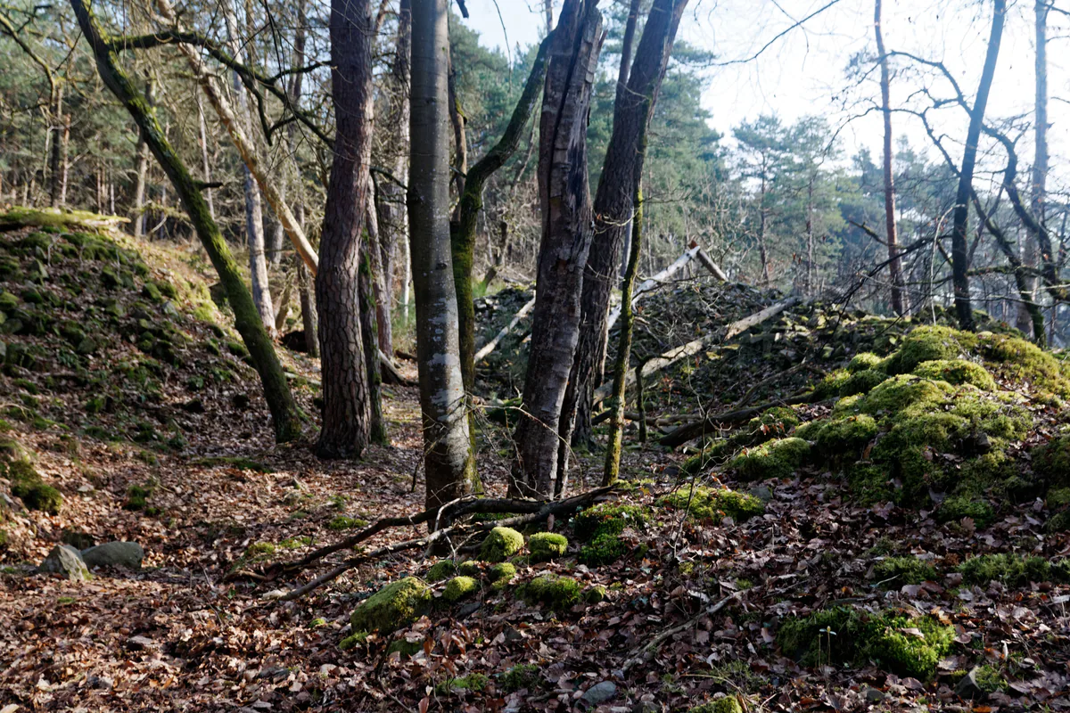
At Restant du Long Rocher, sandstone shapes almost every part of the walk. Walls of boulders line the paths, sand slows each climb and forest junctions begin to look alike. There is no single pointed summit to reach. This is a long, broken plateau, best understood by following a chosen route rather than searching every side path for an imagined “top”.
The name covers much more than a single summit. Grande Vallée, Plaine Verte, Mare aux Fées, Grotte Béatrix, Montigny-sur-Loing and Bourron-Marlotte appear on several distinct routes. First choose the long visitor circuit, blue trail 11 or blue trail 17, then save the matching start listed above.
The official long loop from Bourron-Marlotte
When the area is accessible, the Mare aux Fées, Malmontagne and Grotte Béatrix walk is the clearest published route through this landscape. Fontainebleau Tourisme gives a distance of 16.17 km, an average time of 5 hours and a moderate grade. It starts on the D58 in Bourron-Marlotte, beside the forest house.
This is not a one-hour wander around a few boulders. The listing describes four viewpoints, venerable oaks, Mare aux Fées, Grotte Béatrix, a chasm and sandstone cliffs. Download the roadbook and track offered on the official page. Read the entire route before leaving, paying particular attention to junctions where it turns from a forest road into rocky ground.
Long loop at a glance
- Published distance: 16.17 km.
- Estimated time: about 5 hours, excluding a long break.
- Published grade: moderate.
- Start: D58 in Bourron-Marlotte, beside the forest house.
- Highlights: Mare aux Fées, viewpoints, Grotte Béatrix and sandstone cliffs.
- Navigation: roadbook and downloadable track on the official listing.
These figures describe the published circuit, not the condition of every path on your date. Following the July 2026 fires, check all 16 km on the ONF map before treating this start as usable.
Understanding the long loop’s twelve stages
The downloadable roadbook begins on Route de la Grande Vallée. From the car park, blue trail 11 climbs towards Mare aux Fées. The route circles the water on its east side and follows the northern bank. It then uses part of a former Tour du Massif de Fontainebleau line, crosses an oak-filled hollow and reaches Route des Ventes Héron, followed by Carrefour du Rocher Boulin.
Route du Rocher Boulin runs beside the rocks and offers an early quiet place to pause. After crossing the D301, the circuit joins GR11 and climbs to the Inspecteur Général viewpoint, where there is a bench. The GR then passes Carrefour du Chevreuil, Route des Forts de Marlotte and Route de Jemmapes, beside Rocher Fourceau and old quarries. This northern half combines fairly readable forest roads with several changes of waymark. Check each road name before leaving an axis.
By Route de Valmy, followed by Routes de la Palette and du Panage, the trail turns towards the southern section. It crosses the D58 and D301 before reaching Carrefour de la Malmontagne by Route du Parquet de Montigny and Route Biron. On Malmontagne, Route de Milady passes near the Puits Fondu chasm. The detour is short, but return to the same junction before continuing rather than following an unknown path.
The route then reaches Rocher du Carrosse, Route de Russie and Route de la Canepetière. Beyond a viewpoint, the 11-17 link climbs steeply onto the Restant du Long Rocher ridge. Blue trail 11 winds below layered cliffs, passes Grotte Béatrix, reaches a view over Plaine Verte and returns towards the D58. Climbing paths make this the easiest section in which to lose the walking route. Follow blue trail marks, not bouldering numbers.
The PDF itself notes that one section uses a disused former TMF line and preserves a comment about faded marks observed in 2016. That is exactly why the track must be checked against current trail information. The sequence remains valuable for remembering the major landmarks, but any recent diversion on the ground takes priority.
Two blue loops for a more precise choice
AAFF currently describes blue trail 11 as an 8.5 km loop taking about 4 hours, with 290 m of ascent and a moderate grade. It can begin at the Maison Forestière de la Grande Vallée or Plaine Verte car park. The opening is gentle before the route becomes more undulating around L’Enfer de Dante, Grotte Béatrix and Mare aux Fées. This is the choice most closely centred on Restant du Long Rocher.
An unmarked 300 m link, listed at about 15 minutes, joins trails 11 and 17. Blue trail 17 makes a separate 8 km loop, taking roughly 3 hours 15 minutes with 243 m of ascent, from Carrefour du Rocher des Princes on the D148. Its focus is Malmontagne, Haut-Mont, former quarries, Le Carrosse, Le Gouffre and several viewpoints.
Do not combine the circuits merely because a link exists. Choose trail 11 for Les Étroitures, Béatrix and Mare aux Fées; choose trail 17 for Malmontagne and Haut-Mont. The 16.17 km long loop combines parts of those landscapes with additional forest roads. In every case, the route must first appear accessible on the current ONF map.
Why the name covers several different hikes
Blue trails 11 and 17, GR11, GR13B and the Tour du Massif cross or approach this broad ridge. Two people discussing “Long Rocher” may therefore have planned entirely different days. Compare the distances and starts published by Les Amis de la Forêt de Fontainebleau rather than relying on the area name alone.
The Croix du Grand Maître also helps explain the straight forest-road network. M. de La Faluère, then Grand Master of Waters and Forests, had it erected in 1723 where Route Ronde meets Route de la Tranchée. It served as a landmark for hunting gatherings rather than as a religious monument. It is an interesting landscape feature, but not automatically the right start for a Restant du Long Rocher circuit.
Mare aux Fées and Grotte Béatrix
Mare aux Fées is one of the route’s best-known pauses. Fontainebleau Tourisme recounts that the painter Armand Charnay planted yellow irises there in 1896 to introduce another note of colour. The pool is first and foremost a living habitat. Observe it from the path, pick nothing and avoid trampling a waterlogged bank.
Grotte Béatrix and the nearby cliffs give the loop much of its rocky character. A forest cave is neither a guaranteed shelter nor an invitation to explore away from the route. Wet leaves, roots and sandstone steps all require care. Enjoy the rock shapes without adding improvised climbing to an already long walk.
Check access that morning
Begin with the ONF interactive map of accessible areas. Forestry teams reopened much of the massif after the fires, but some areas remain closed because of weakened trees and unstable soil. Diversions may also affect blue trails and long-distance GR routes.
Zoom in along the entire 16 km rather than looking only at the car park. If any section crosses a closed zone, choose another walk. A fence, barrier or red sign on the ground takes priority over your GPX file. Never try to skirt a closure between boulders.
Postpone the walk in strong winds. After rain, damp sandstone is slippery and more easily damaged. A small torch is useful when days are short, even when you aim to finish before dark. Carry enough water and an offline map, since the terrain may cost more time than expected.
Who will enjoy this outing?
The full loop is for walkers comfortable with five hours on uneven ground. Someone happy with 16 km on a flat path may find sand and rocky sections much more demanding. With inexperienced companions or young children, do not shorten the route by guesswork. Choose a currently published short trail with a known start and return instead.
Climbers also use this area. Their paths may look clear at first and then split beneath the boulders. Do not follow climbing-circuit marks as though they replace pedestrian waymarking. For a dedicated session, read Bouldering in Fontainebleau.
Arriving by train and continuing near the Loing
Fontainebleau Tourisme lists Restant du Long Rocher among the bouldering areas reachable from Bourron-Marlotte station. “Reachable by train” does not mean the platform is at the start of the loop. Measure the walk-in, check the last service on Île-de-France Mobilités and keep enough time to return to the station.
After the hike, Bourron-Marlotte or Montigny-sur-Loing makes more sense than a second forest area. For another day, Plaine de Sorques offers a 5 km discovery circuit among ponds, marsh, meadows and the Loing valley. Compare the wider area on our forest overview, and save Commanderie Forest for a separate outing.