
See the forest through a map
Cartographie Orientation: learning to read the forest
Knowing where you are changes a walk. A map, compass and close observation make the forest easier to read without turning the outing into a race.
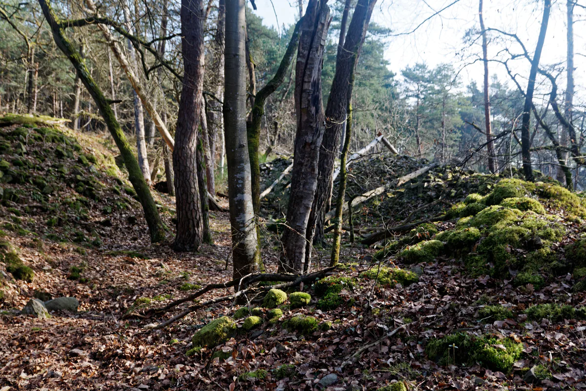
Discover the forest with a map
Cartographie Orientation is run by Christine Verdeil and appears in the Biosphere Reserve’s current directory of eco-actors. Its walks, training days and navigation sessions on foot or by mountain bike all begin with learning to read a map.
You can find the project in the current eco-actor directory, while the Cartographie Orientation website describes its activities. Ask which sessions are running, where they meet, what level they suit and what equipment you will need.
What you learn
A map is for more than drawing a line. It helps you understand scale, the contours of the land, major junctions and how a route fits its surroundings. A compass confirms direction, while observation connects the symbol on the page with the ground beneath your feet.
For a beginner, a slow session with a handful of nearby checkpoints can teach more than a race. With a family, take turns: one person orients the map, another looks for the next feature and a third keeps an eye on the time.
Knowing the way does not open every path
Being able to find your way does not make a closed area or sensitive habitat open to visitors. Use permitted routes, respect barriers and do not create a shortcut to reach a checkpoint.
Since the fires of July 2026, check the ONF access map before every activity. Your instructor can adapt the session to current closures.
Keep practising
After an introduction, return to a short loop you know and try to anticipate each junction before looking at your phone. Still carry an offline map and a charged battery. These new skills should make you more confident, not less careful.
Our map of the whole forest shows how the main forest areas fit together before you choose a walk.