
Fontainebleau's historic trail network
Denecourt-Colinet blue trails: choosing a route
The blue trails do not seek the shortest way. They connect rocks, caves, trees and viewpoints in a fascinating network that must be chosen one number at a time.
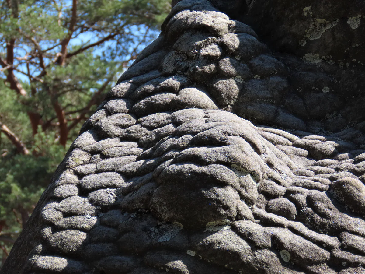
A route that tells the landscape’s story
A Fontainebleau blue trail is more than a practical line between two points. It slips beneath a boulder, skirts a pool, reaches an unusual tree, climbs to a viewpoint and sometimes heads in a direction you would never have chosen instinctively. The detour is part of the experience.
Claude-François Denecourt laid out his first trails in 1842. The arrival of the railway in 1849 opened the forest to a much wider Parisian audience. Denecourt named rocks, fountains and caves, adapted some passages and published guides that led visitors from one curiosity to the next. Charles Colinet continued the work. Their shared name now describes living heritage that is still maintained, not a nineteenth-century museum piece.
The Amis de la Forêt de Fontainebleau lists about 220 km of blue trails across 24 routes. Outings are generally described as taking two to four hours, but that range does not tell the whole story. A modest distance can fill an afternoon on sand, through a boulder field or with frequent stops.
Choose an area first, then a number
The network crosses several forests and very different landscapes. The current blue-trail directory helps group the choices without pretending they are interchangeable.
Near Fontainebleau and Avon, compare trail 1 at Mont Ussy, trail 2 between Croix du Calvaire and Tour Denecourt, trail 10 at Rocher d’Avon, and trail 13 between Tour Denecourt and the Seine escarpment. A station that looks close on a map does not guarantee a short circuit. Open the sheet for your chosen number and count the approach, loop and walk back to the platform.
To the north and towards Bois-le-Roi, the names to investigate are trail 3 at Rocher Cassepot, trail 4 at Rocher Saint-Germain, trail 5 at Mont Pierreux and Cuvier Châtillon, the east and west sections of trail 12 around Mont des Truies, Monts de Faÿ and Rocher Canon, and trail 14 at Croix de Toulouse. Two trails can cross in this dense network without forming a sensible combined outing.
In the west, the two parts of trail 6 explore Apremont, trail 7 Franchard and Le Houx, trail 8 Long Boyau and Mont Aigu, the two parts of trail 9 Bouligny, Les Demoiselles and Mont Morillon, and trail 16 Les Belvédères. Trail 20 lies around Recloses. These names cover broad areas, so choose a published starting point rather than the most appealing name.
In the south and east, trail 11 visits Restant du Long Rocher and Les Étroitures, trail 17 Rochers des Princes, Malmontagne and Haut-Mont, trail 18 circles Thomery, and trail 19 tours the Larchant basin. Trail 15 covers Les Ecouettes. Transport and the return time matter more here than a choice made from central Fontainebleau.
Three useful introductions to the network
To experience the spirit of the trails without improvising a large circuit, the Cabaret Masson walk uses part of trail 4 over 2.6 km. Its educational sheet names six stops, explains the blue letters and states exactly where to leave the blue route for the return. It is an excellent lesson in reading the network, provided the area is open that day.
At Rocher Cassepot, the longer blue trail 3 and a shorter yellow walk briefly share the same ground. Their proximity shows how one area can offer two very different ambitions. The published yellow loop works for a focused introduction; trail 3 needs its own map.
In Commanderie Forest, trail 19 forms the Tour du Golfe de Larchant. The local association describes an approximately 13 km loop taking in Dame Jouanne, Bois d’Hyver, the Elephant and several rocky plateaux. That is a very different day from either of the first two examples.
Read loops, links and shortcuts
The number is your thread through the network. A solid blue mark with that number belongs to the loop or one of its own variants. A white dot within the blue indicates a link towards another circuit. Notations such as 2-3, 6/7 and 8-8 respectively mean a connection between two trails, a shared section and a shortcut within one trail.
This grammar prevents the classic mistake of assuming that every blue line returns to the same place. Slow down at each split and find the small number. Our guide to understanding trail markings also explains the difference between climbing arrows, notable-tree circles and genuine walking marks.
Letters and symbols painted beside certain curiosities belong to the route’s narrative. The AFF guide supplies their names and stories. Without that text, a letter confirms that you are near a landmark but may not tell you which branch to take next.
Why the printed guide remains modern
The ninth edition of the AFF guide describes the routes, their curiosities and the forest environment. Detachable maps have been replaced with QR codes that let readers download and print the selected circuit. That arrangement suits the forest remarkably well: an A4 map for the group, an offline copy on a phone, and the book for understanding the names.
Do not photograph only the map. Keep the page explaining the junctions and identify a shortcut you would be willing to use before setting out. Choosing a backup plan in comfort is easier than deciding among three blue marks as daylight fades.
Check the true condition of your route
The network changes. Erosion weakens sandy passages and small historic structures. A storm, forestry operation or fire can close a section and make a connection unusable. On 4 September 2026, the AFF status page lists sections of trails 7, 8 and 16 as impassable after the July fires, together with link 7E-8. That list will change.
On the morning of your walk, check the AFF status page and the ONF access map. A barrier or notice on site always takes priority over the guide. Never go around a closure in the hope of “picking up the blue” farther on.
Walk in the way the trail was designed
Switchbacks and constructed passages often protect ground that erodes quickly. A visible shortcut across the sand is not necessarily an official variant. Stay on the route, leave moss and engravings untouched, and do not move stones from an old passage.
Most importantly, allow time for details. Denecourt-Colinet trails were made for looking. A painted name, a view framed by two rocks or an old wall is not an obstacle between start and finish. It is why the path comes this way.